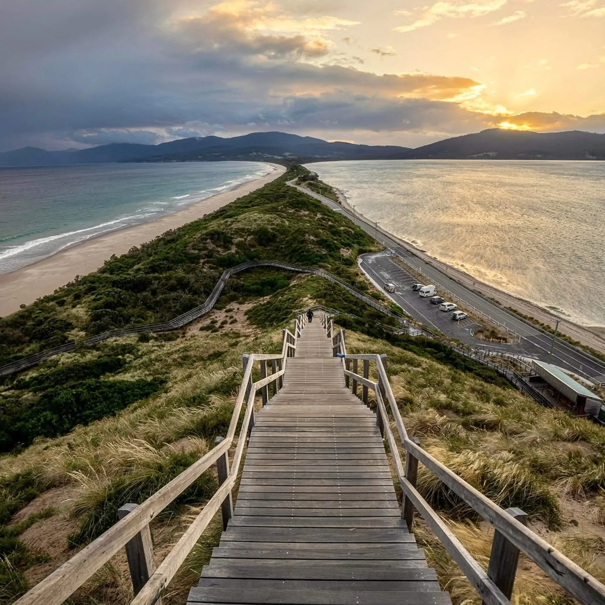
The trails in South Bruny National Park put a good measure of the wild southern Tasmanian coast at your feet, be it an undemanding stroll on the shoreline or a more arduous bushwalk on the clifftops. The likes of the East Cloudy Head walk, the Labillardiere Peninsula circuit, Grass Point and the Fluted Cape Track are considered top hikes in South Bruny, though they will test your fitness, patience for mud and available time in equal measure.
Nicholas Fairchild here. One does not need to be on many Tasmanian tracks to learn that what is billed as a “short walk” can turn into an extended negotiation with the wind and tree roots if one has made the mistake of wearing the wrong sneakers. In this guide I set out to compare the principal walks in the park and tell you how to get to them from Hobart, along with the kind of practicalities that separate a day to remember from a wet trudge back to your vehicle.
A Quick Look at the South Bruny Trails
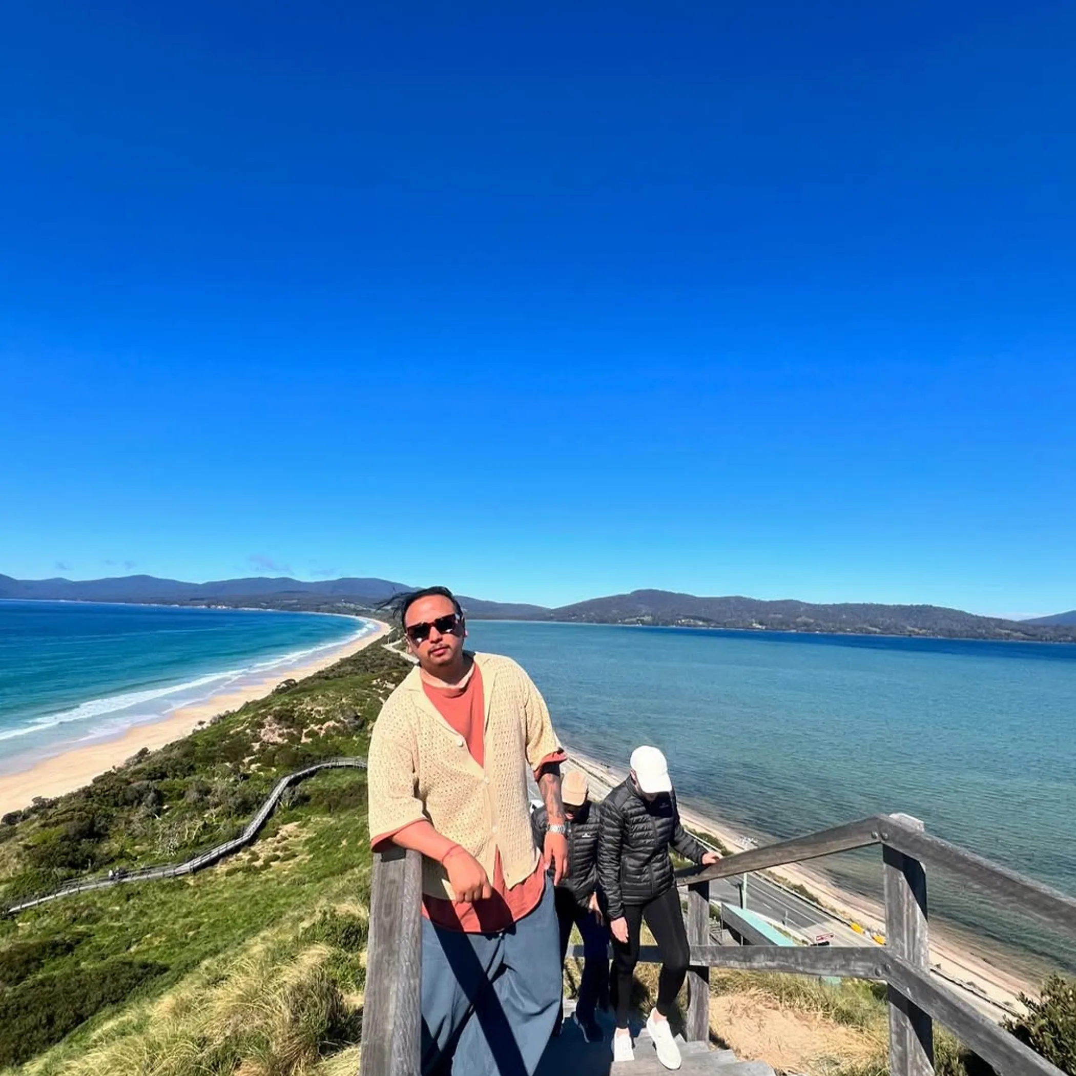
In this rugged part of Bruny Island, a stretch of Tasmania coastal wilderness, the national park has a number of walking experiences to offer. There is no call for a multi-day affair to put in some time under the coastal cliffs, survey the Southern Ocean, see the remains of the old whaling station and end up at Cloudy Bay Beach.
One should not take the figures below as anything set in stone; weather and the state of the track will affect your times and distances. Consider them sensible parameters for your planning.
| Walk | Approximate Distance | Difficulty | Time (realistic) | Best For |
|---|---|---|---|---|
| Grass Point walk | 4 km return or so | Grade 2 | 1.5 to 2.5 hrs | Families, those new to it and wildlife |
| Fluted Cape Track | 6 km return or so | Grade 3–4 | 3–5 hrs | Coastal views and fit walkers |
| Labillardiere Peninsula circuit | 14 km | Grade 3–4 | 5–8 hrs | A full day in the wilderness |
| East Cloudy Head | 12 km return or so | Grade 3–4 | 5–7 hrs | The scenery at Cloudy Bay, for the experienced |
As for facilities, closures and the like, these are subject to change. Do yourself a favour and consult the Tasmania Parks and Wildlife Service for any alerts or Parks Pass requirements before you head out.
Making the Most of Your Day
For a single day’s outing, make Adventure Bay your priority and put in the Grass Point or Fluted Cape. With Grass Point you have a coastal walk you can handle; Fluted Cape is steeper and the cliffs more imposing.
When you have the whole day and the weather is to be trusted, head for the Labillardiere Peninsula circuit or East Cloudy Head. They are more remote and demand more of your time, not to mention there is little scope for a two hour lunch.
The Coast at Fluted Cape
Near Adventure Bay the Fluted Cape Track is the one to do if you want something of a challenge. You will be climbing over tall dolerite and have the Southern Ocean spread out before you, but there are steep and exposed parts with no railing to hold on to.
It is usual to start in the vicinity of Grass Point at Adventure Bay. Some put the shoreline in with the climb to Fluted Cape for a longer return. Factor in rests and a few photos and you are looking at three to five hours, maybe a pause now and then to collect yourself on an incline.
What the Track Feels Like
You will find the opening stretch quite approachable with the coastal bush giving way to views of The Friars and Penguin Island. But as you go up to Fluted Cape the track makes more of itself. The surfaces are uneven and there is loose material and roots to contend with; in places the terrain is more serious than the kilometres would have you believe.
Most will find it makes sense to go clockwise, dealing with the harder climb in order before the easier route back along the shore. Then again, conditions being what they are, heed the signs and local opinion instead of making a rule of it.
Do not let the height of the track deceive you. It is no beach promenade with a view. Give the unprotected edges your attention, especially with a strong wind or if there are dogs and children about. Stay clear of them and put the camera away when you are walking backwards. There is no need to add a cliff to the ways Tasmania can put you in your place.
Grass Point Keeps Things Manageable

Then there is the Grass Point walk, which of the main options on South Bruny Island is by far the most manageable. A good option for the beginner or a family, so long as the children are up to negotiating uneven terrain and the adults do not stray far from the water’s edge.
From Adventure Bay to Grass Point the route runs along the coast, affording views of the bay and some wildlife. One could call it a proper bushwalk without having to put in a full day on a steep trail.
Family Planning That Works
The return is 1.5 to 2.5 hours at most paces. With young ones in tow, figure on more time; there is always the possibility of an argument over walking, a snack break or that one stick which has to be hauled for half a kilometre.
Visitors in any doubt as to their fitness or the state of the track and weather would do well to make Grass Point their first walk. Take your water and sun protection and a rain layer to be on the safe side, even if the morning is fine. The coastal weather has a way of turning and the track will be cooler and wetter than the car park at Adventure Bay. Do not see the end point as something to be won in a race with the clock, the coast and forest are reward enough. If you want a short outing, go as far as is comfortable and head back.
Labillardiere: An Endurance Test
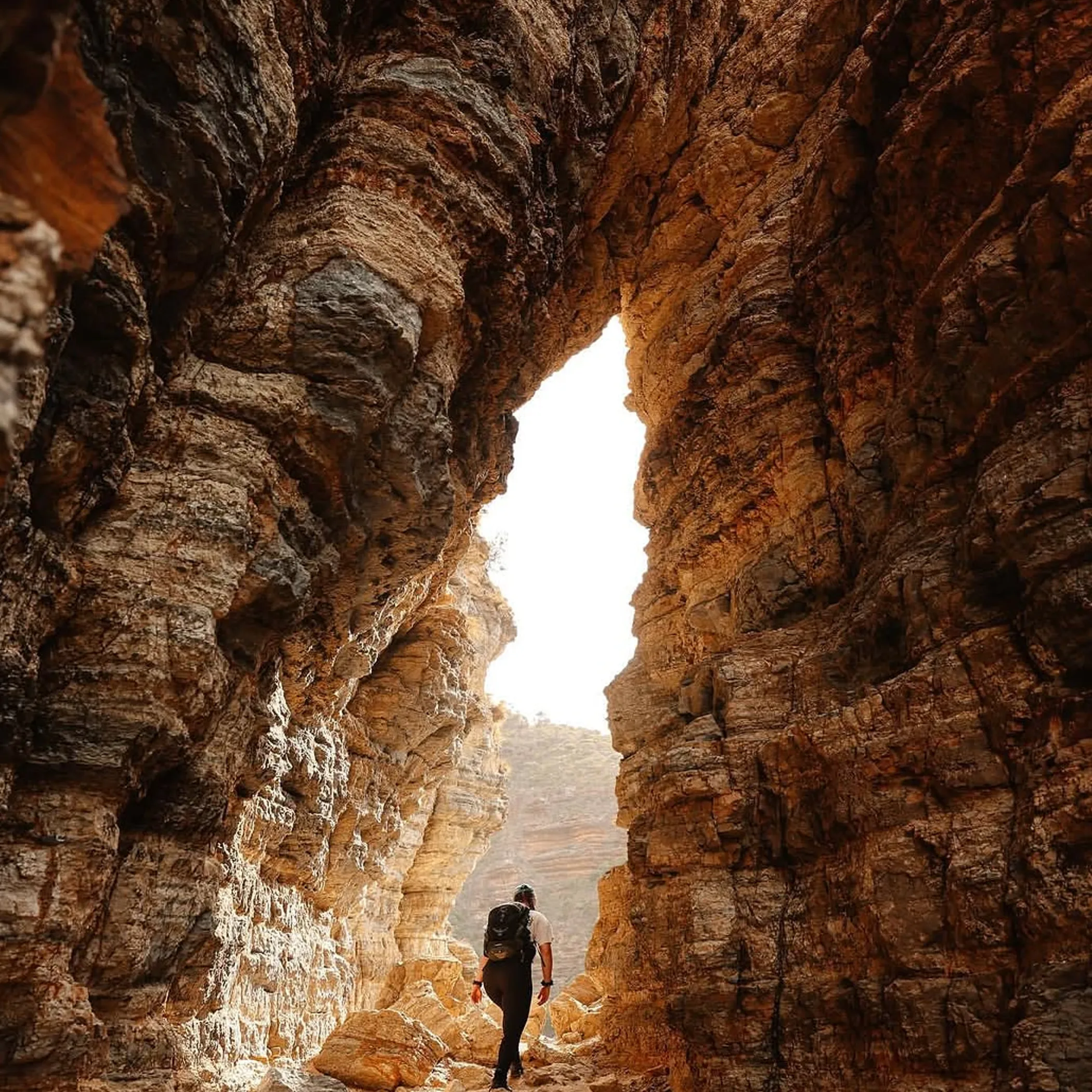
Experienced walkers will find the Labillardiere Peninsula circuit a wilderness hike to fill the day, offering distance, isolation and a change of scenery on the coast. The circuit takes in the bushland and the peninsula with the Southern Ocean and the rougher parts of Bruny Island to the south in view.
Under realistic conditions set aside five to eight hours. That is with time for rests, odd patches of ground and navigation, and the inevitable slowing down after being on your feet for a while. Add to that if the wind is hard off the coast or the track is rained on.
Make Preparations For The Day
Be up early so as to be done before it gets dark. You cannot count on supplies on the track so bring what you need in the way of food and water. A phone is handy but no replacement for a plan. On quieter days the peninsula can be very remote, so let someone know where you are headed and when you will be back. See what the park alerts and the weather say before you go and if the exposed sections look unsafe, put it off.
There are permitted areas for camping but do not take it for granted you can turn up late and put a tent down anywhere, or find a shop for your evening meal. Check the arrangements beforehand.
East Cloudy Head
For those wanting to get out of Adventure Bay and put in some kilometres on an open track, the East Cloudy Head walk in the Cloudy Bay area is a longer affair. Allow some five to seven hours for the return, the condition of the route and how much time is spent at the beach being factors. It is an exposed place when the weather changes, so a good forecast should not lull you into packing light.
Practicalities of Cloudy Bay
The roads to get there are not all sealed. Take your time driving and check ahead. In fair weather a small hire car is sufficient but potholes and a bit of rain will alter things.
An easy day of hiking is not what a trip to the beach is about. The open country at Cloudy Bay Beach will sap your energy quicker than you think with the wind and sun. Have your water, food, warm clothes and a first-aid kit with you. Those on their own should leave word of their plans.
Fitness and Conditions Will Decide
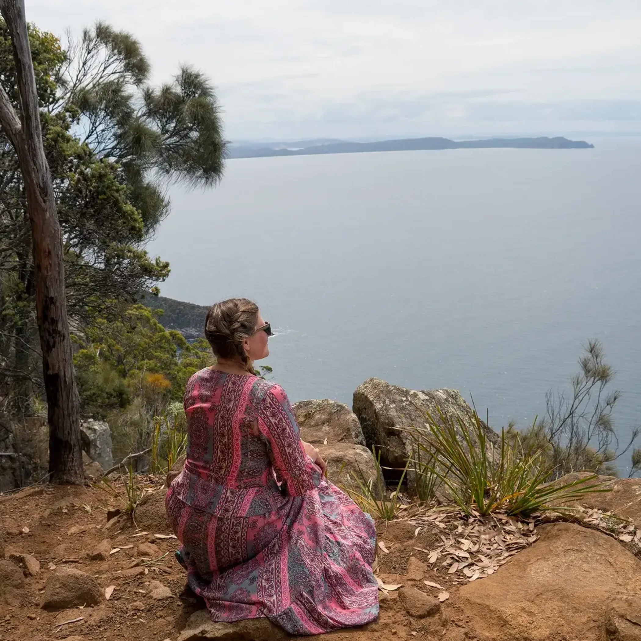
What you get out of a day on Bruny Island is a matter of choice. The longer routes on the peninsula are for those at ease in the bush, Fluted Cape is for the fit walker who wants a hard half-day and Grass Point for the more circumspect family.
Track grading is of assistance but you still have to assess the situation. After a rain a Grade 2 is slippery, and wind or heat will put a different complexion on a Grade 4.
Expectation Versus Reality
Then there is the matter of expectation. You may think the distance quoted is what you will experience. In reality a six-kilometre track can seem a lot more once you factor in the climbs, the weather and tired legs.
One would think summer affords you the certainty of a dry walk. Then there is the reality of Tasmania, where the weather has a way of turning on a moment in any season. You will have longer days in the summer to be sure, but also the heat and fire restrictions, not to mention access points that are well populated. In the cooler months the tracks are more to yourself, yet one has to plan for the wind, wet underfoot and the fact that daylight is at a premium.
I have seen it time and again when putting together an itinerary for a trip to Tasmania: the error is in not allowing enough transition time. Walking time is accounted for, then there is the drive off the ferry, the parking, making your way to the trackhead and back to the car and standing around for the Bruny Island ferry. Put some slack into your schedule; you will not miss the boat and it is less costly in the long run.
Ferry Roads And Passes
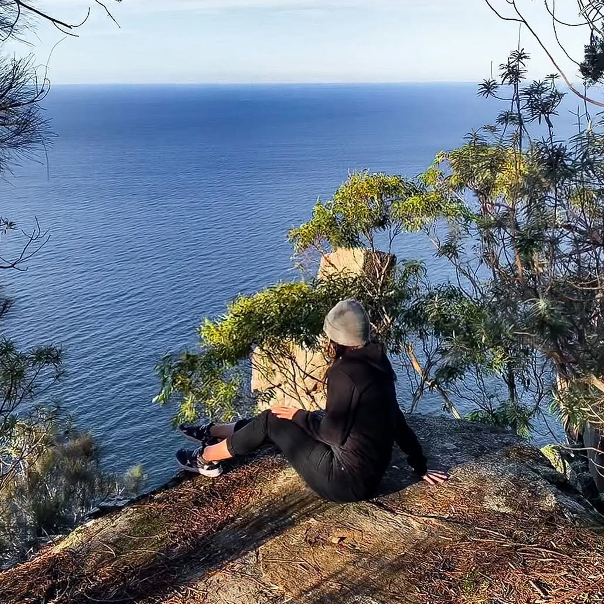
The road from Hobart to South Bruny National Park will take you via Kettering to the Bruny Island ferry and on from there. Do not make the crossing the only consideration for the day; between the queues and the state of the roads and the travelling required to get from northern to southern Bruny, it can be more time consuming than a first timer would put down on paper.
Have a vehicle up to the task, see that you are fuelled up before going south and get your information downloaded while you still have coverage. Unsealed roads do not forgive after a rain and mobile reception is not to be trusted. If the walk has been a long one, mind the daylight on the way back to the ferry.
Essential Pack And Costs
You will need a Parks Pass to enter most of Tasmania’s national parks. Do not go by an old screenshot or the word of a bloke at the bakery who seems to know best; the official site will tell you what the present conditions and prices are as they are subject to change.
Factor in accommodation or camping, food, fuel and the cost of the ferry. These are exact figures that will depend on how many are travelling and when you book, so verify them prior to leaving. As for what to pack, be sure to have a first-aid kit, insect repellent and sunscreen along with good footwear and something weatherproof and a water bottle you can use again and again.
A quick check before you head out:
- Make sure you have looked at the park alerts, the weather and fire situation, road access and the ferry details.
- Put your return plan and route in front of someone.
- Have on hand the navigation, warm clothes and provisions to cover any delays.
- And see that children, dogs and others are kept from any unprotected cliff.
Wildlife
For birdwatching and the like, South Bruny National Park is hard to beat. A coastal bird or wallaby and even sea eagles may put in an appearance depending on the hour and the season. The little penguins and short-tailed shearwaters are part of the Bruny Island coast but one cannot count on a sighting.
Be quiet about it and do not feed anything. Dawn and dusk are when you will see the most but visibility is poorer and the risk of getting turned around is greater. If you are likely to be done late have a torch with you, not just your phone.
Leave the Coast As You Found It
Do not trample the vegetation at the dunes or edge of the coast and stay to the marked track. Take your rubbish with you. Some noise is inevitable but keep it down in roosting or nesting areas. Should you come across a blocked track or some signage in disrepair, let the park authority know once you are in range.
There is no need to climb on the whaling station ruins or other historic remains. Visit to get a sense of the place, not to put something in your backpack as a souvenir.
Some Questions Answered
What Are The Best Walks?
If you want a challenge by the coast the Fluted Cape Track is without equal, Grass Point is the family option and Labillardiere Peninsula or East Cloudy Head are for the experienced walker in search of a wilderness day.
How Long Does Fluted Cape Take?
Figure on three to five hours for the return with the climb, the coastal section and time for photographs. Your route and the conditions will dictate.
Is Grass Point For Children?
Many a family and beginner will find it suitable though supervision is needed near the water and uneven ground. If it does not suit, turn back.
Labillardiere Difficulty?
Good fitness is called for on the circuit of the Labillardiere Peninsula and an ability to handle remote terrain. It is not a sensible proposition in bad weather or for a first bushwalk.
Parks Pass Required?
As a rule yes for any Tasmanian national park. But pass types and the like can change so look up the Parks and Wildlife Service before you travel.
Making The Most Of South Bruny
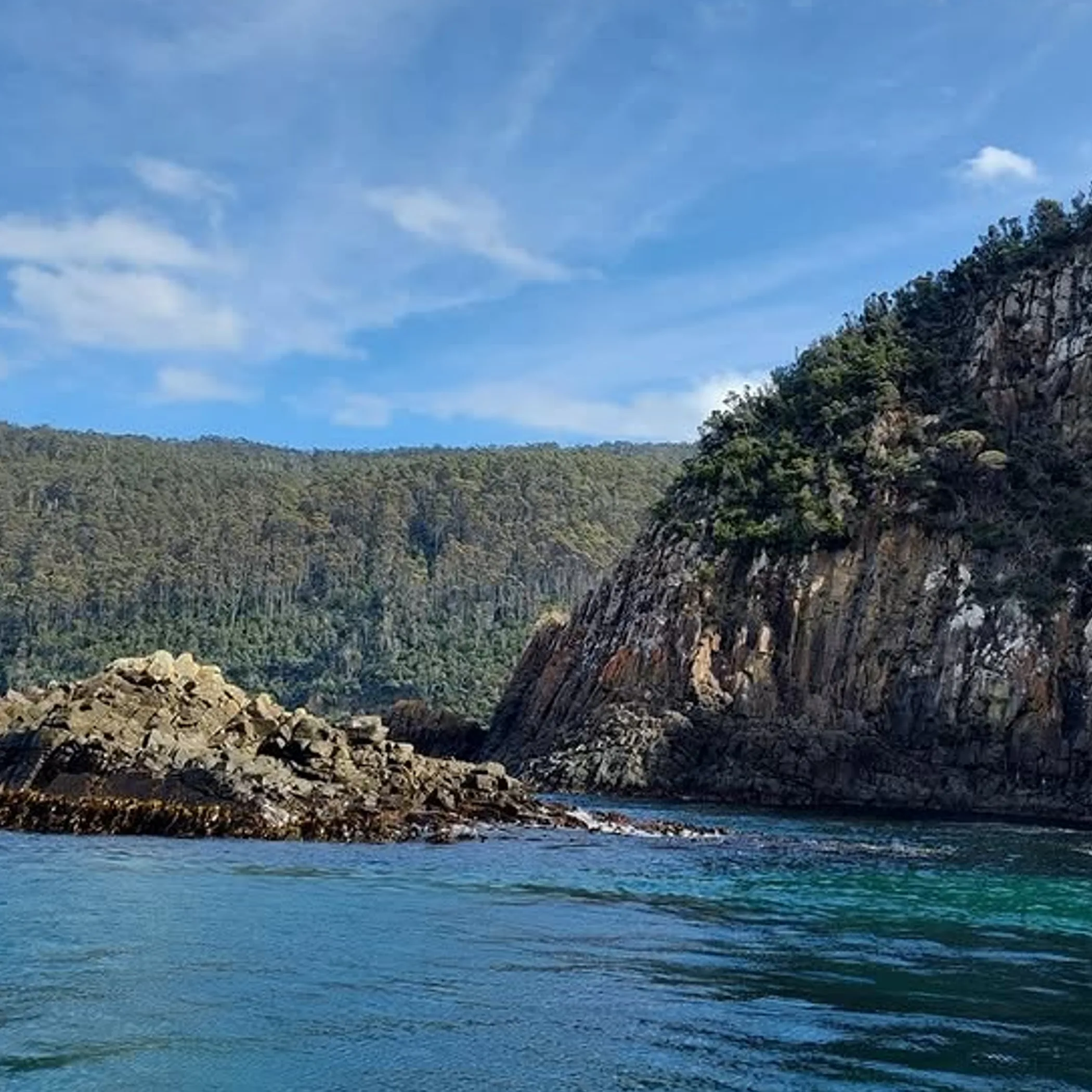
The trails here are best when you are realistic about the day you have rather than the heroics you were imagining at home. Let Grass Point be an easy start, the Fluted Cape a memorable one and if you are prepared for the length of it, the Labillardiere or East Cloudy Head will be rewarding.
Respect the coast and its edges, have the right gear, be mindful of unsealed roads and the timetable of the ferry. With that you can have a proper walk in the Tasmanian coastal wilderness and be spared any surprises.
